

Solving the Global Water Crisis
SWIM: Surface Water Information Management
All-in-one application fusing Copernicus Earth Observation satellite data with real-time, in-situ WAMO IoT ground sensors for an AI Decision Support System.

The Global Water Crisis is Here. Our Vision is Clouded.
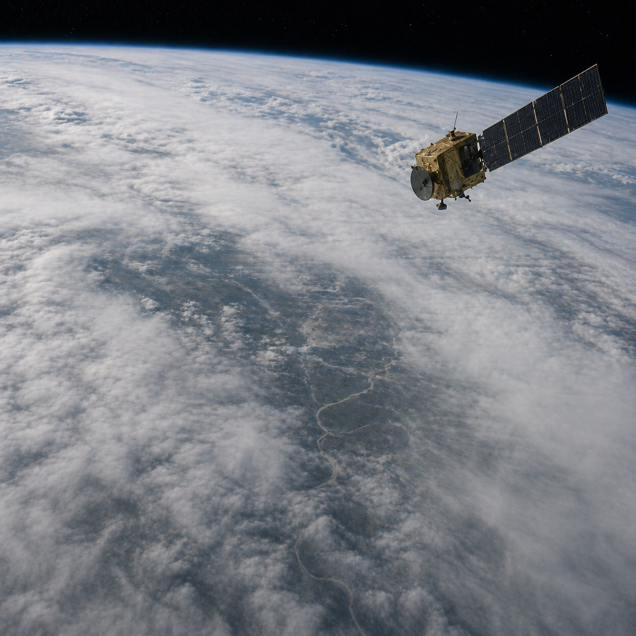
Global freshwater is under threat from extreme weather, yet traditional ground sensors lack broad spatial coverage.
The Blind Spot: Satellite imagery is frequently obscured by cloud cover or atmospheric noise, forcing decision-makers to react to crises, like flash floods or harmful algal blooms (HABs), rather than preventing them.
The Solution: Seeing the Unseen
Data Fusion
We combine the massive scale of Copernicus satellites with the centimeter-level accuracy of floating WAMO IoT sensors.
WOLF Engine
Our machine learning framework dynamically matches satellite pixels with ground readings, actively correcting noise to improve Copernicus data accuracy by at least 15%.
AI Advantage
The AI-DSS translates complex hydrological data into automated reports, providing actionable mitigation recommendations and triggering alarms with a false alarm rate below 5%.
Core Service Pillars
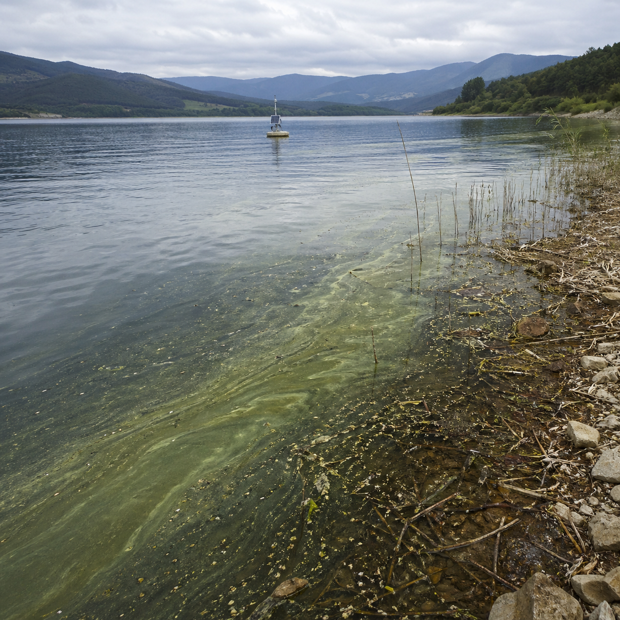
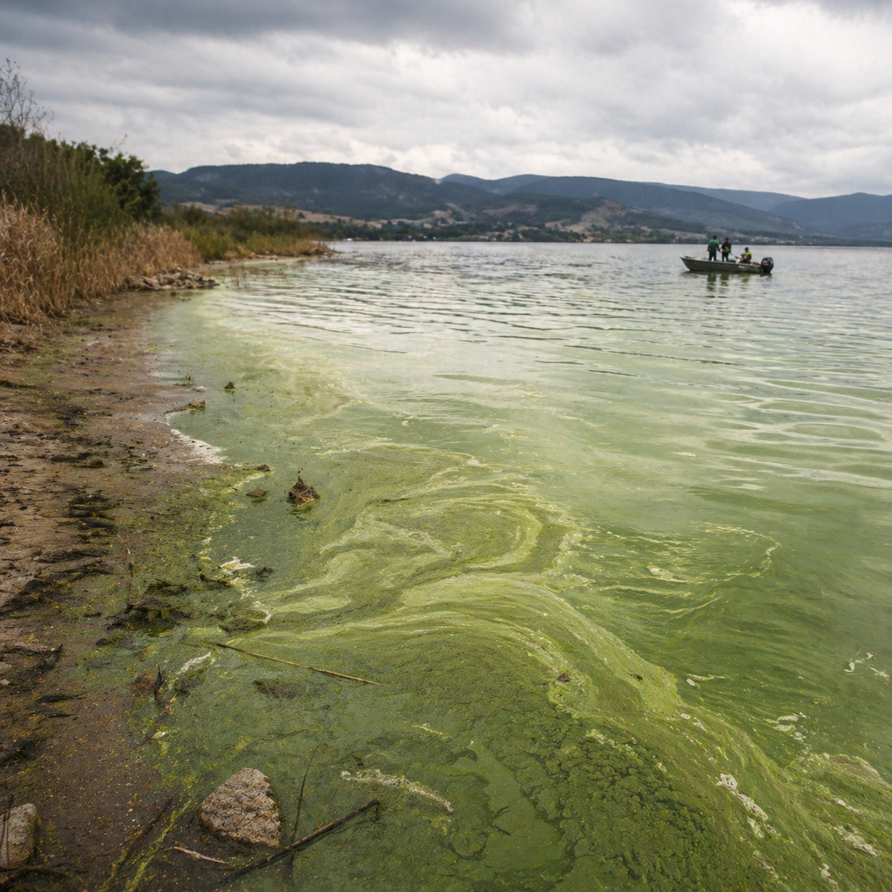
Water Quality
Detect and predict ecological threats like Harmful Algal Blooms (HABs) and nutrient pollution.
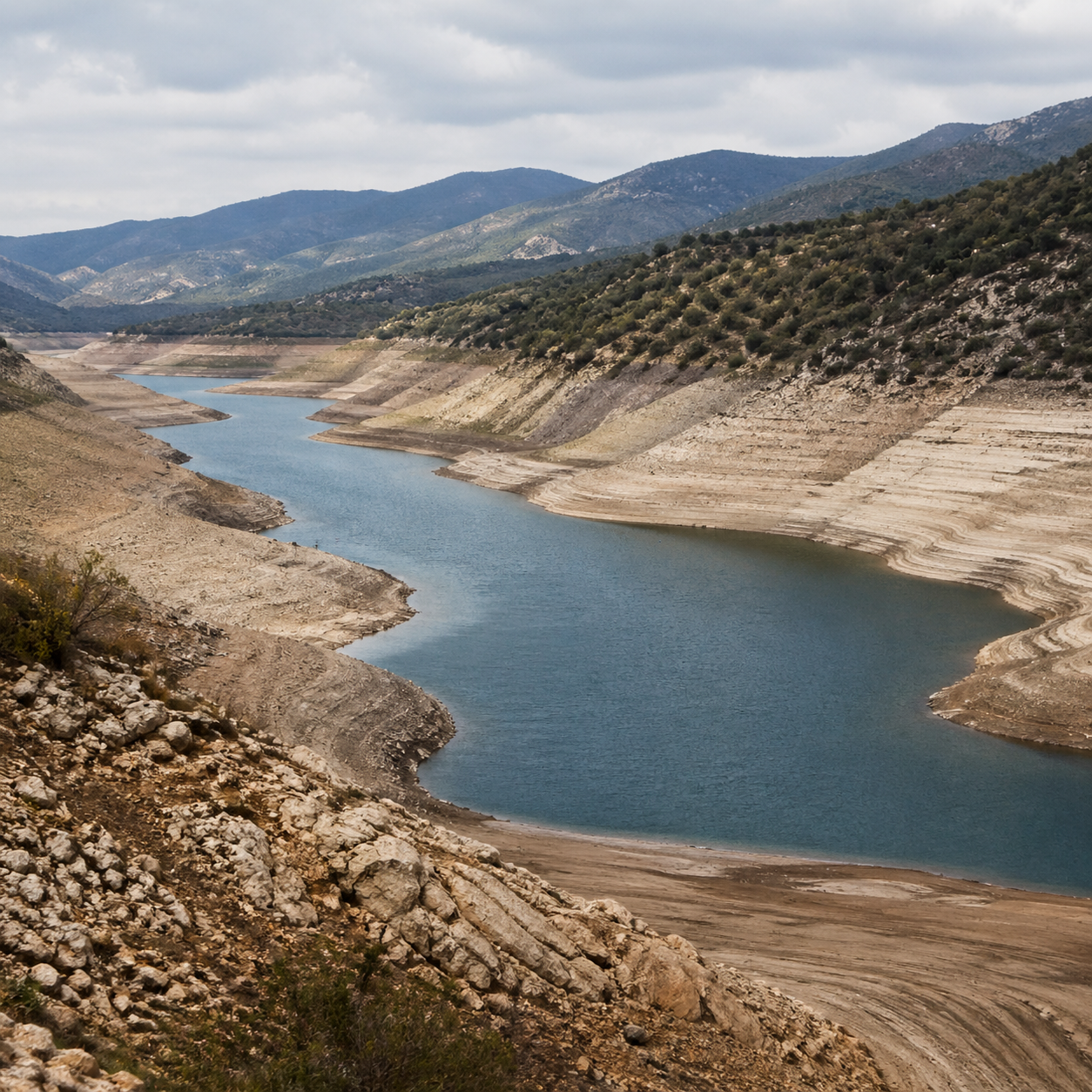
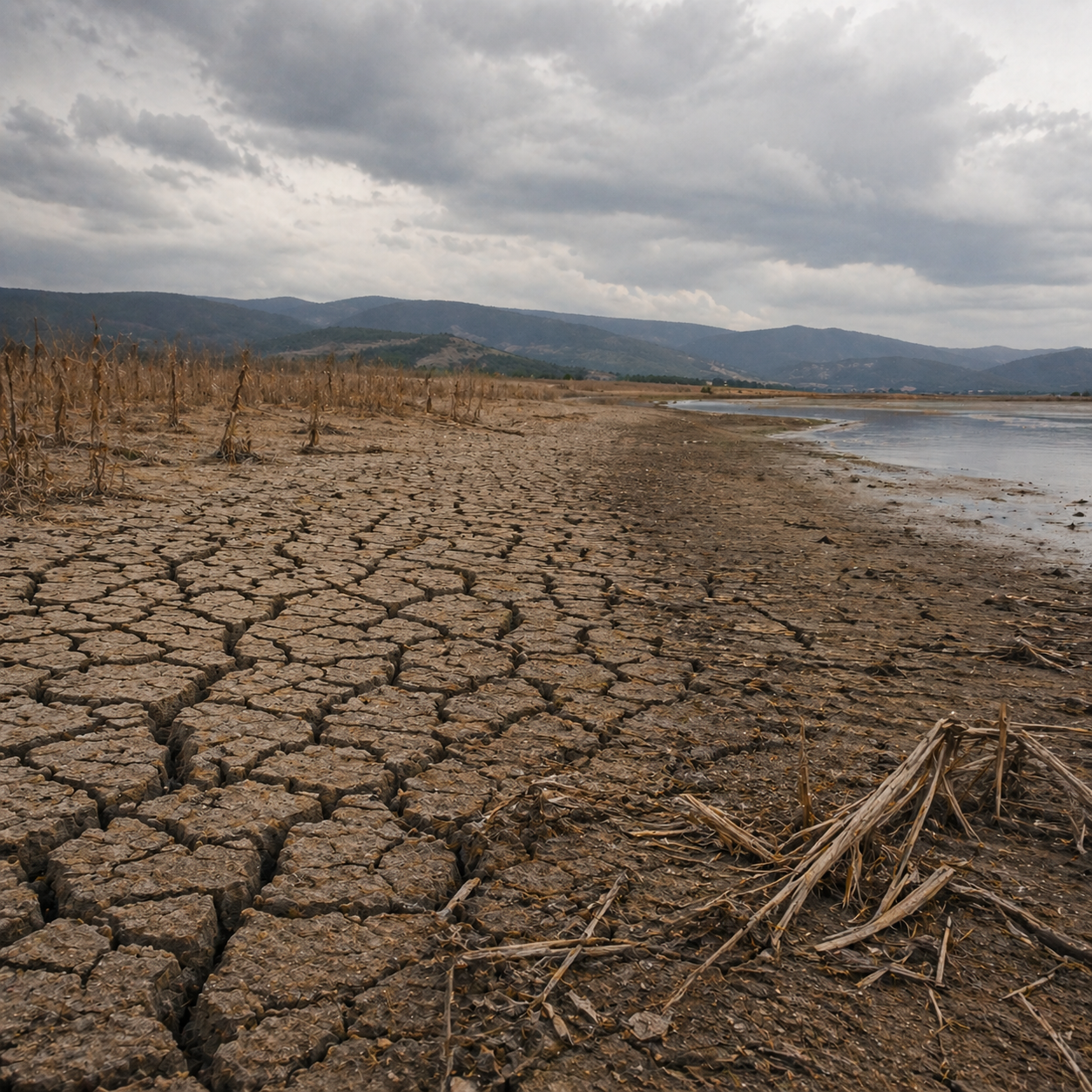
Water Balance
Forecast water stress and availability using machine learning models that simulate streamflow even in ungauged basins.
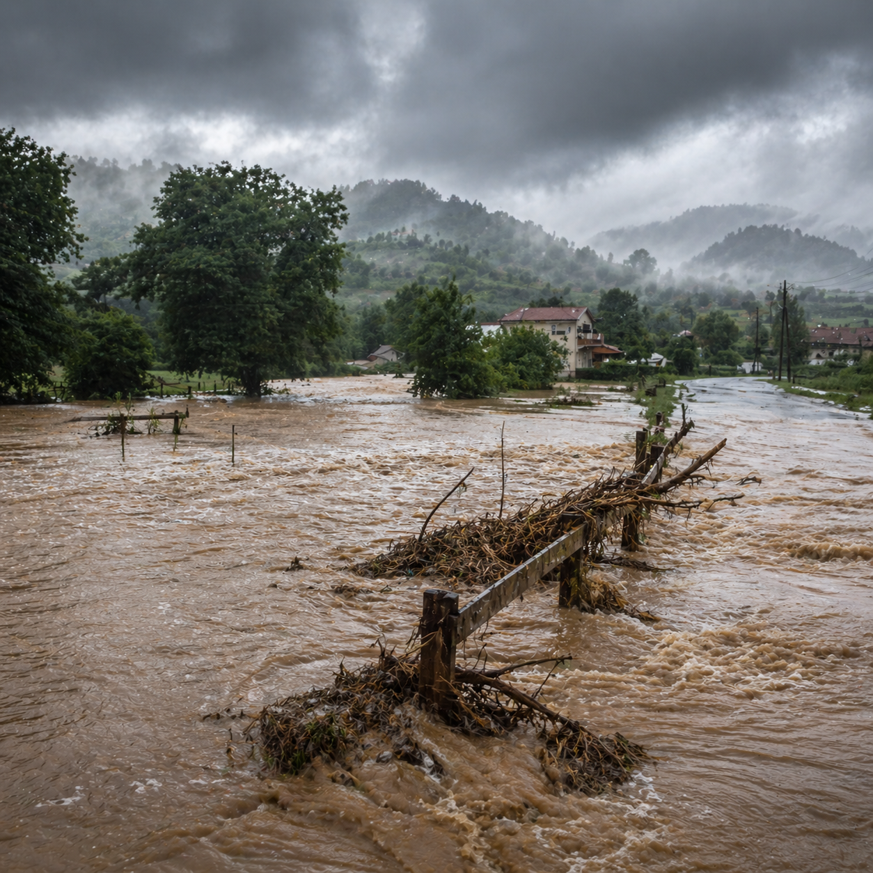
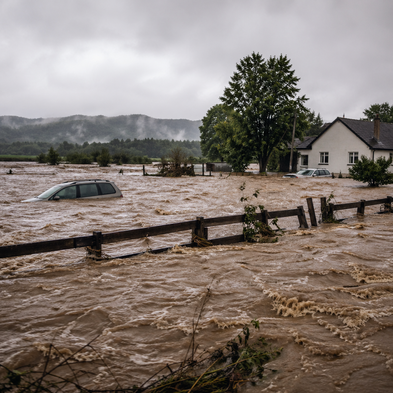
Natural Disasters
Protect communities with rapid risk assessment, highly accurate early warnings, and predictive mapping for flash floods and severe droughts.
Global Goals Alignment

United Nations Sustainable Development Goal 6: Ensure availability and sustainable management of water and sanitation for all.
EU Water Framework Directive and other international water initiatives.
Contact Us
We’re here to connect and collaborate!
Whether you're a policymaker, researcher, or technology enthusiast, SWIM is open to inquiries and partnerships.